Saturday, 7 February 2026
CP Foods collaborates across sectors to reduce PM 2.5 dust
CP Foods integrates advanced digital technologies—including blockchain for enhanced transparency and satellite imaging for detecting hotspots and burn scars Charoen Pokphand Foods Public Company Limited (CP Foods) is committed to…

CP Foods integrates advanced digital technologies—including blockchain for enhanced transparency and satellite imaging for detecting hotspots and burn scars
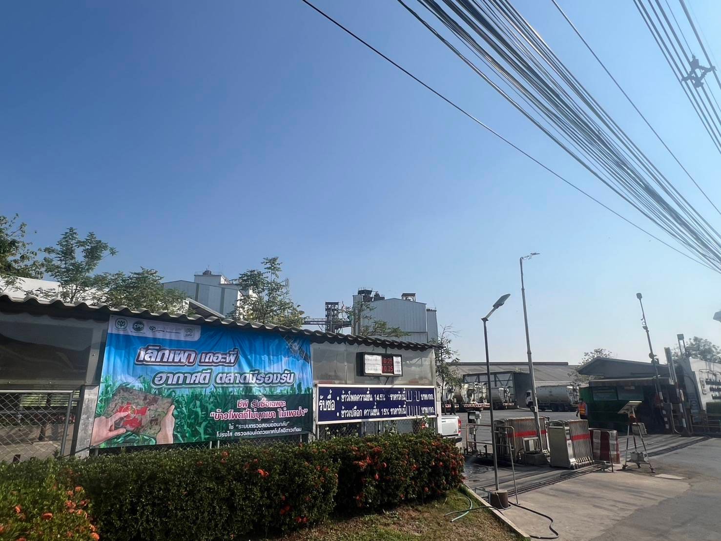
Charoen Pokphand Foods Public Company Limited (CP Foods) is committed to implementing sustainable practices throughout its supply chain. The company sources raw materials legally, ensuring no forest encroachment and no crop burning. Using a traceability system for sourcing animal feed corn in Thailand and neighboring countries, CP Foods integrates advanced digital technologies—including blockchain for enhanced transparency and satellite imaging for detecting hotspots and burn scars—while promoting sustainable farming practices among farmers.
Boonserm Charoenwat, Senior Director at CP Foods, emphasised that the company integrates sustainability into its entire supply chain. By adopting digital and smart technologies in feed production processes, CP Foods reduces waste and dust emissions. Importantly, the company purchases only traceable animal feed corn from verified farming sources, in line with its strict policy against buying or importing corn associated with deforestation or crop burning. GPS tracking systems are also used on vehicles, ensuring accuracy and transparency in delivering corn to CP Foods’ feed mills nationwide, ultimately fostering an environmentally friendly supply chain and cleaner air.
Recently, to encourage collective action, CP Foods’ feed mills across the country launched awareness campaigns urging farmers and local communities to monitor and report crop burning. This initiative aims to address PM 2.5 dust issues during the April- May planting season when land preparation typically occurs. CP Foods, in collaboration with Bangkok Produce Merchandising Public Company Limited, has adopted modern technology to monitor burning activities, providing daily satellite-based reports via the Traceability Laboratory. Using data from three NASA FIRMS satellites, the system detects hotspots and automatically cross-references them with farmers’ planting coordinates, allowing real-time monitoring. Burn scar satellite imagery is also utilised to trace past burning incidents, enhancing transparency and enforcement within the supply chain to promote the cessation of crop burning.
Technology
Australia Approves Commercial Release of GM Purple Tomato
Feb 06, 2026 | Australia
Detmold Group Reports Progress on Emissions Reduction, Circular Packaging Goals
Feb 05, 2026 | Australia
FAO on Balancing Climate Urgency and Food Safety in Emerging Agrifood Technologies
Feb 05, 2026 | Food Security
Food Testing
AFNOR International Eyes Global Food Safety Growth with HACCP Group Takeover
Feb 04, 2026 | Australia
Incheon National University researchers uncover hidden toxin risks during nutrient-starved algal blooms
Feb 02, 2026 | Food Safety and Testing
How audit-led approaches are reinforcing trust in retail food safety
Feb 02, 2026 | Food Safety and Testing
More Popular
Fertility Meets Farm-to-Table Dining with Launch of ‘The Fertility Table’ in India
Feb 06, 2026 | Company News
Australia Approves Commercial Release of GM Purple Tomato
Feb 06, 2026 | Australia
Alternative Proteins Could Add €111 Billion Annually to EU Economy by 2040, Study Finds
Feb 06, 2026 | Europe


